Mui Dinh Lighthouse: Cliff Views and Coastal Drama
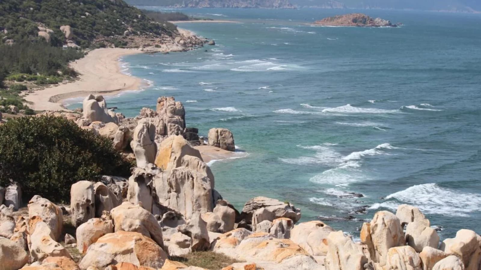
Perched on dramatic cliffs 100m above the sea, Mui Dinh offers some of Vietnam's most spectacular coastal views. Here's how to visit.
What Is Mui Dinh?
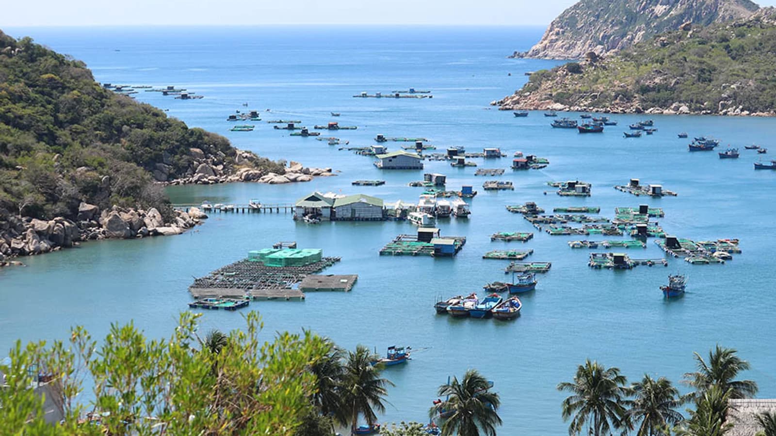
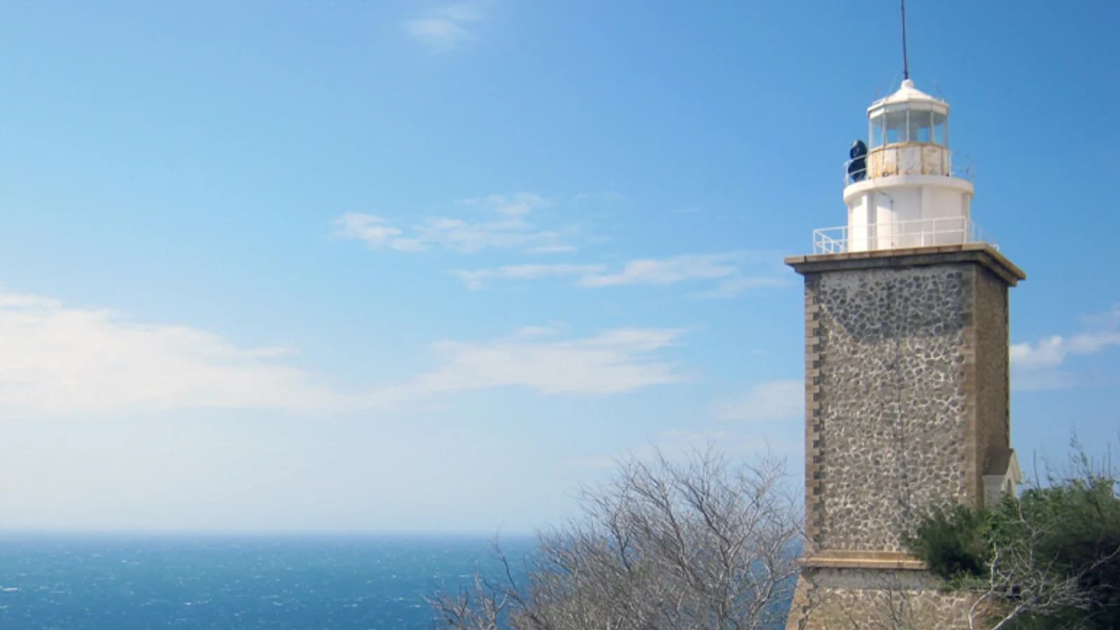
Mui Dinh is a cape jutting into the East Sea about 40km south of Phan Rang. At the tip sits a French colonial lighthouse (built 1890s, rebuilt multiple times) on sheer cliffs roughly 100 meters above crashing waves. The 360° view takes in turquoise bays, rocky headlands, and dense jungle.
It's one of the most photogenic spots in Ninh Thuan and sees far fewer visitors than Vinh Hy or Ninh Chu.
The Hike Up
Trail start: Park near the lighthouse keeper's house at the base. A dirt trail winds uphill through dry forest for about 20-25 minutes.
Difficulty: Moderate. The trail is steep in sections, loose dirt, and exposed to sun. You need decent footwear — not flip-flops.
What you'll see: Dry forest vegetation (thorny shrubs, scattered trees), occasional monkeys, and intermittent glimpses of the sea through the canopy. The final approach opens up to the clifftop.
At the Top
The lighthouse itself is usually locked (working lighthouse, not a museum). But the real attraction is the cliff edge and the views:
- West: The coast curving north toward Phan Rang
- East: Open ocean, often with fishing boats dotting the water
- South: More rocky headlands receding into haze
- Below: Waves breaking on rocks 100m straight down
Caution: There are no railings. The cliff edge is a sheer drop. Stay back from the edge, especially if windy.
Best Time to Visit
Time of day: Early morning (7-9am) for soft light and cooler temperatures, or late afternoon (4-5:30pm) for golden hour. Midday is brutally hot with harsh overhead light.
Season: March-October (dry season). The trail gets slippery and potentially dangerous during/after rain (September-November).
Weather: Clear days obviously. On hazy days, the distant views flatten. Check weather before making the trip.
Combining With Ca Na
Mui Dinh is 20-25km south of Ca Na Beach along Highway 1. Easy to do both in a half day:
Morning option: Ca Na salt fields at sunrise (5:30-7am) → Ca Na Beach (7:30-9am) → Mui Dinh hike (9:30-11am)
Afternoon option: Ca Na Beach lunch + swim (12-3pm) → Mui Dinh for sunset (4-6pm)
Both work well. The afternoon option means hiking in slightly cooler temperatures.
Practical Details
Getting there: From Phan Rang, drive south on Highway 1 for ~40km. Look for a small sign pointing inland toward the lighthouse. Follow the dirt road ~2km to the parking area. By motorbike: 50-60 minutes total from Phan Rang.
Entry fee: Unofficial. The lighthouse keeper sometimes asks for 10-20k VND as a "maintenance contribution." Pay it.
Facilities: None. No water, no toilets, no shops. Bring what you need.
What to bring:
- Water (1 liter minimum)
- Hat and sunscreen
- Proper shoes (hiking shoes or sneakers with grip)
- Camera
How long: Budget 1.5-2 hours total (20-minute hike up, 30-45 minutes at the top, 20-minute hike down).
Safety Notes
- The trail is narrow and exposed. If you're uncomfortable with heights or steep trails, skip this.
- Monkeys along the trail are generally shy but don't feed them or approach.
- At the cliff edge: stay well back, especially if windy or if the ground is wet.
- Solo hikers: let someone know where you're going. Cell reception is patchy.